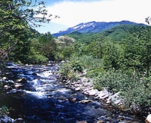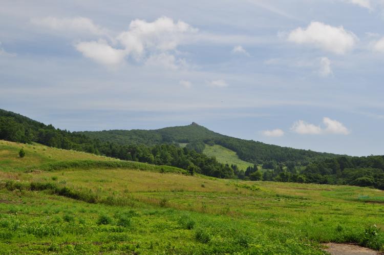
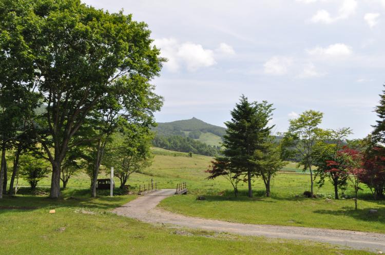
As you head east from Morioka on National Route 106, you can see a particularly high rocky peak above the Kukai Plateau called Kabuto Myojindake (1,005m above sea level). It takes about 1 hour and is an easy hike. A popular loop course is the one that climbs straight up the northern ridge from the Kukai Kogen Walking Center. If you follow the single road surrounded by larch and birch trees, you will reach the junction with Mt. Miharuyama. After passing through a meadow, a mountain hut surrounded by trees, and a natural grass field, you will reach the top of a sharp rock. The Ou Mountains, including Mt. Iwate, spread out below.
- residence/location
- Miyako city ward boundaries
- Inquiries
- Miyako City Tourism Division
Phone number 0193-62-2111 - Other
- Kukai Kogen Walking Center
TEL:0193-77-2216